The Forest Survey of India's India State of Forest Report uses precise categories — forest cover, tree cover, and density classes — that significantly affect how headline figures should be interpreted. Understanding these distinctions is essential before citing or acting on any single number.
Forest cover and tree cover
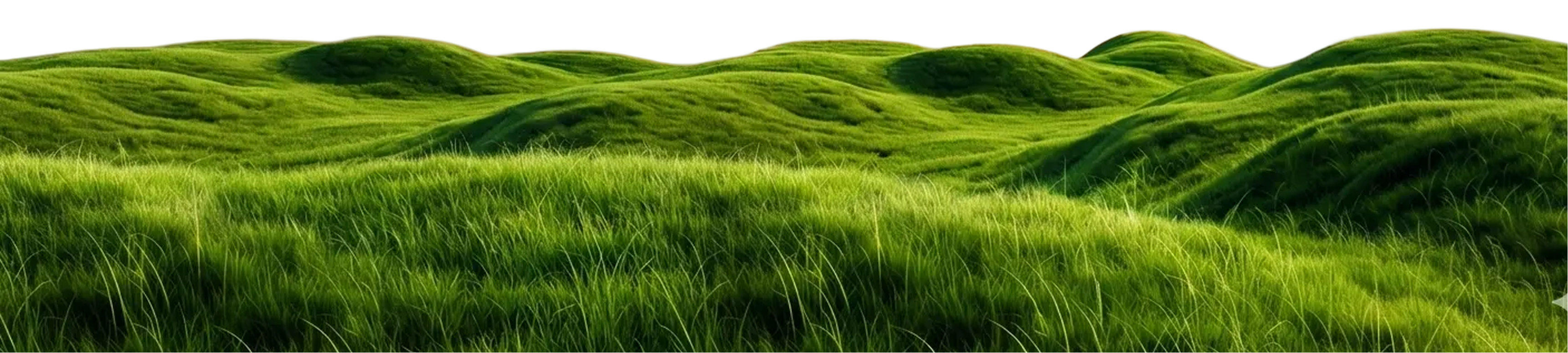
The ISFR uses two distinct measures. Forest cover is land of more than one hectare with at least 10% canopy density, regardless of ownership. Tree cover is everything else: smaller patches and isolated trees outside the forest area, estimated through sampling. The two measures are often quoted together as 'green cover.' The combined figure can move in different directions from its components — gains in tree cover or open forest can occur alongside losses in dense natural forest.
Density classes
Within forest cover, the FSI uses three density classes: Very Dense Forest (canopy density of 70% or more), Moderately Dense Forest (40–70%), and Open Forest (10–40%). Each class differs significantly in carbon storage, biodiversity value, and ecosystem services per hectare. The most recent ISFR, released in 2024, reported a net increase in combined forest and tree cover. Within that total, dense and moderately dense classes declined, partially offset by gains in open forest and tree cover outside recorded forest areas.
Trees Outside Forests
The FSI also estimates Trees Outside Forests (TOF) — street trees, campus trees, agroforestry, sacred groves, farm-bund trees, plantations, and parks, anything outside legally designated forest areas. TOF is the category most directly relevant to urban and corporate decisions. Changes in TOF are harder to observe directly — a street tree felled for road widening or a campus tree removed for construction typically does not appear in forest department records.
City-level data
City-level tree data is less standardised than national data. Some Indian cities have produced tree censuses or canopy estimates — Bengaluru through academic and citizen mapping, and Mumbai, Delhi, Hyderabad, and Chennai at various points with different methodologies. Satellite-derived canopy datasets such as ESA WorldCover and the University of Maryland's Global Forest Change product allow canopy mapping at moderate resolution without local fieldwork.
What follows from reading the data this way
Three implications follow from working with the FSI's own categories. Plantation reporting becomes more informative with composition. Canopy targets benefit from a measured baseline — available now from satellite data at low cost. TOF carries a substantial share of urban ecosystem value, and policy frameworks that engage with it directly have a wider scope of action than those focused only on designated forest areas.